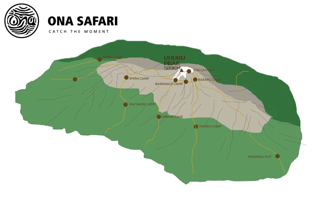
The Rongai route on Kilimanjaro offers a gradual ascent that allows hikers to acclimatise steadily. Therefore, this Kilimanjaro Rongai option is one of the easiest and least traveled routes and the success rates are very high.
Given that there are only a few major obstacles, the day before the summit is short and offers plenty of time for rest and preparation. The Kilimanjaro Rongai route, which starts on the north side of the mountain near the Kenyan border, is the driest route and is therefore suitable for year-round trekking, especially during the rainy season from April to May.
This route avoids most of the rain showers and offers drier and warmer conditions compared to the more popular trails. It also offers the opportunity to spot wildlife such as colobus monkeys during the first few days of the trek. The campsites are favourably distributed along the Kilimanjaro Rongai route so that the daily trekking times are even.
As the trail ascends from the north and descends to the south (on the Marangu Route), hikers get different perspectives of Kilimanjaro’s majestic landscape.
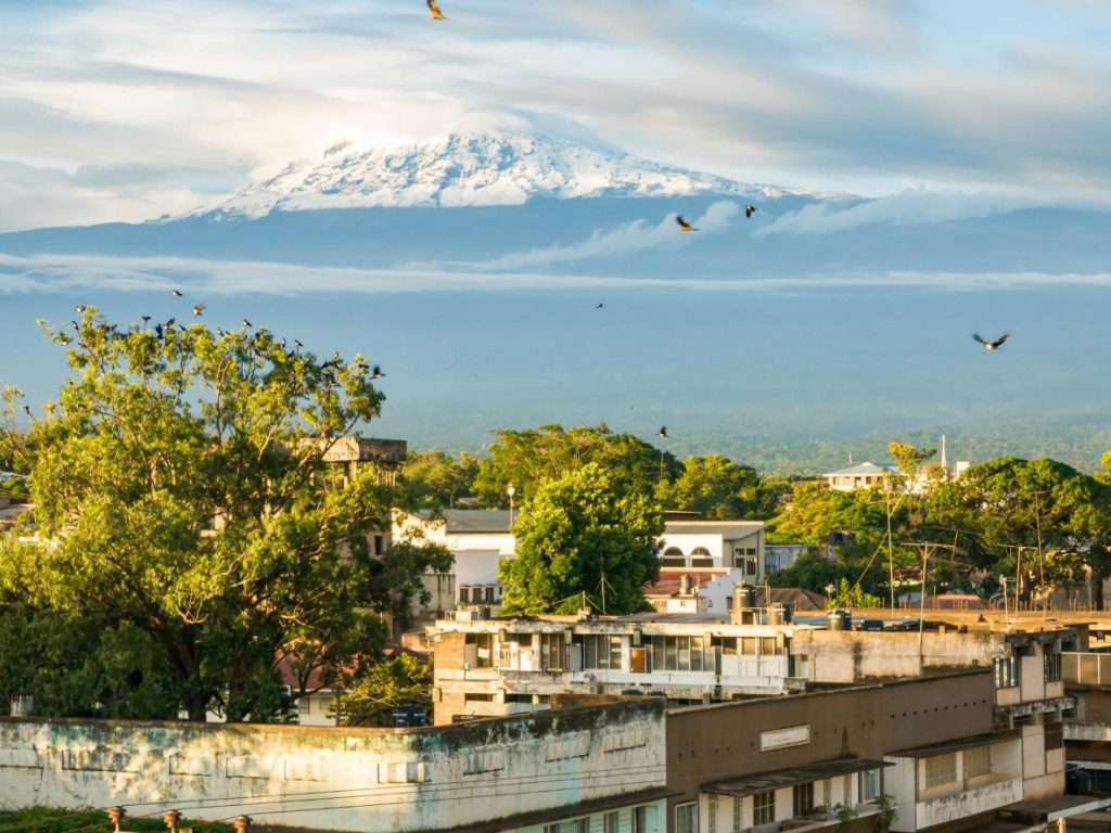
On your arrival, you will be picked up at the Kilimanjaro International Airport and transferred to a hotel in Moshi town; where you will meet a mountain guide who will brief you on your upcoming trek and do an equipment check to make sure you have all the necessary mountain gears. The missing gears can be hired on this day or on the next morning before leaving for your Kilimanjaro Rongai Trekking.
Hotel in Moshi: bed and breakfast included.
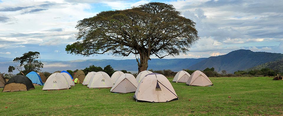
Drive to the attractive wooden village of Nale Moru (about 2 hours including a stop to get permits at Marangu). After you will begin the hike on a wide path that winds through fields of maize and potatoes before entering pine forest. The forest begins to thin out and the first camp is at the edge of the moorland zone with extensive views over the Kenyan plains.
Elevation: 2000 m / 6560 ft to 2650 m / 8700 ft
Distance: 6 km / 4 miles
Hiking Time: 3-4 hours
Habitat: Montane Forest
Meals: Lunch / Dinner
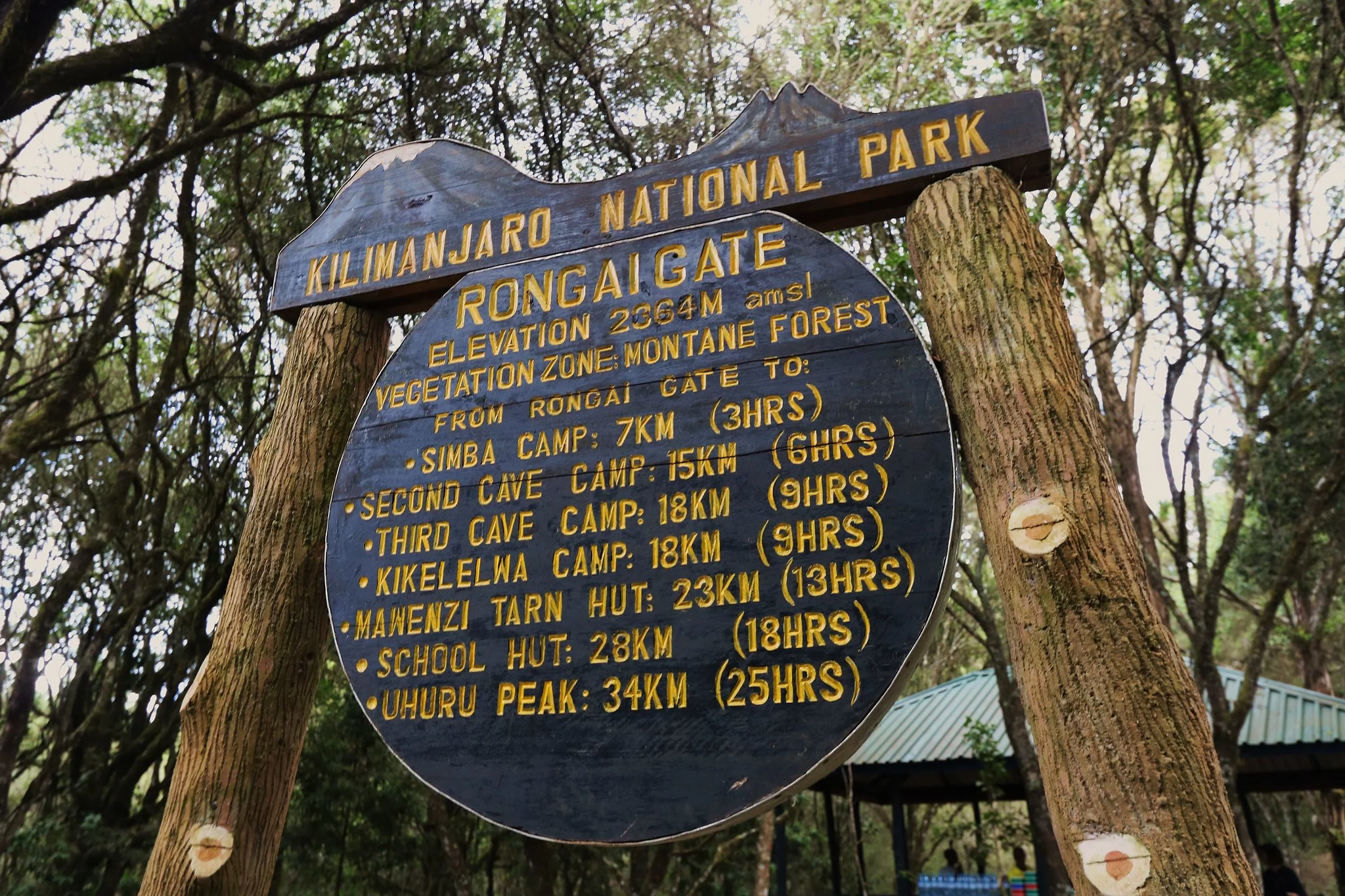
The morning hike is a steady ascent up to the Second Cave with superb views of Kibo and the Eastern ice fields on the crater rim.
We recommend this added day between the shorter routes. But there are options to directly hike to Kikelewa Camp.
Elevation: 2650 m / 8700 ft to 3450 m / 11,300 ft
Distance: 6 km / 4 miles
Walking Time: 3-4 hours
Habitat: Moorland
Meals: included
After breakfast then continues up towards Kibo, reaching Kikelwa Cave at about 3600 meters. The views start to open up and you begin to feel you’re on a really big mountain! Water is in the obvious stream below the cave, although you might have to wander downhill a way to find some. Overnight at 3rd Cave camp (Kikelewa Caves)
Elevation: 3450 m / 11,300 ft to 3600 m / 11,800 ft
Distance: 9 km / 5 miles
Walking Time: 2-3 hours
Habitat: Semi-desert
Meals: included
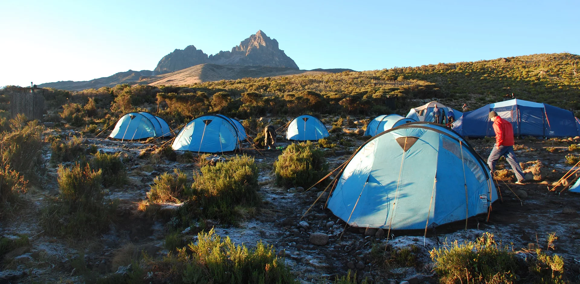
A short but steep climb up grassy slopes is rewarded by superb views. Leave the vegetation behind shortly before reaching the next camp at Mawenzi Tarn. Spectacularly situated in a cirque directly beneath the towering spires of Mawenzi. The afternoon will be free to rest or explore the surrounding area as an aid to acclimatization.
If you are spending an extra day on the mountain, you will camp for two nights here. You can hike up and around Mawenzi for your acclimatization hike.
Elevation: 3600 m / 11,800 ft to 4330 m / 14,200 ft
Distance: 6 km / 4 miles
Walking Time: 3-4 hours
Habitat: Semi-desert
Meals: included
Cross the lunar desert of the ‘Saddle’ between Mawenzi and Kibo to reach Kibo campsite at the bottom of the Kibo crater wall. The remained day will be spent resting in preparation for the final ascent early in the morning.
Elevation: 4330 m / 14,200 ft to 4750 m / 15,600 ft
Distance: 9 km / 5 miles
Hiking Time: 4-5 hours
Habitat: Alpine Desert
Meals: included
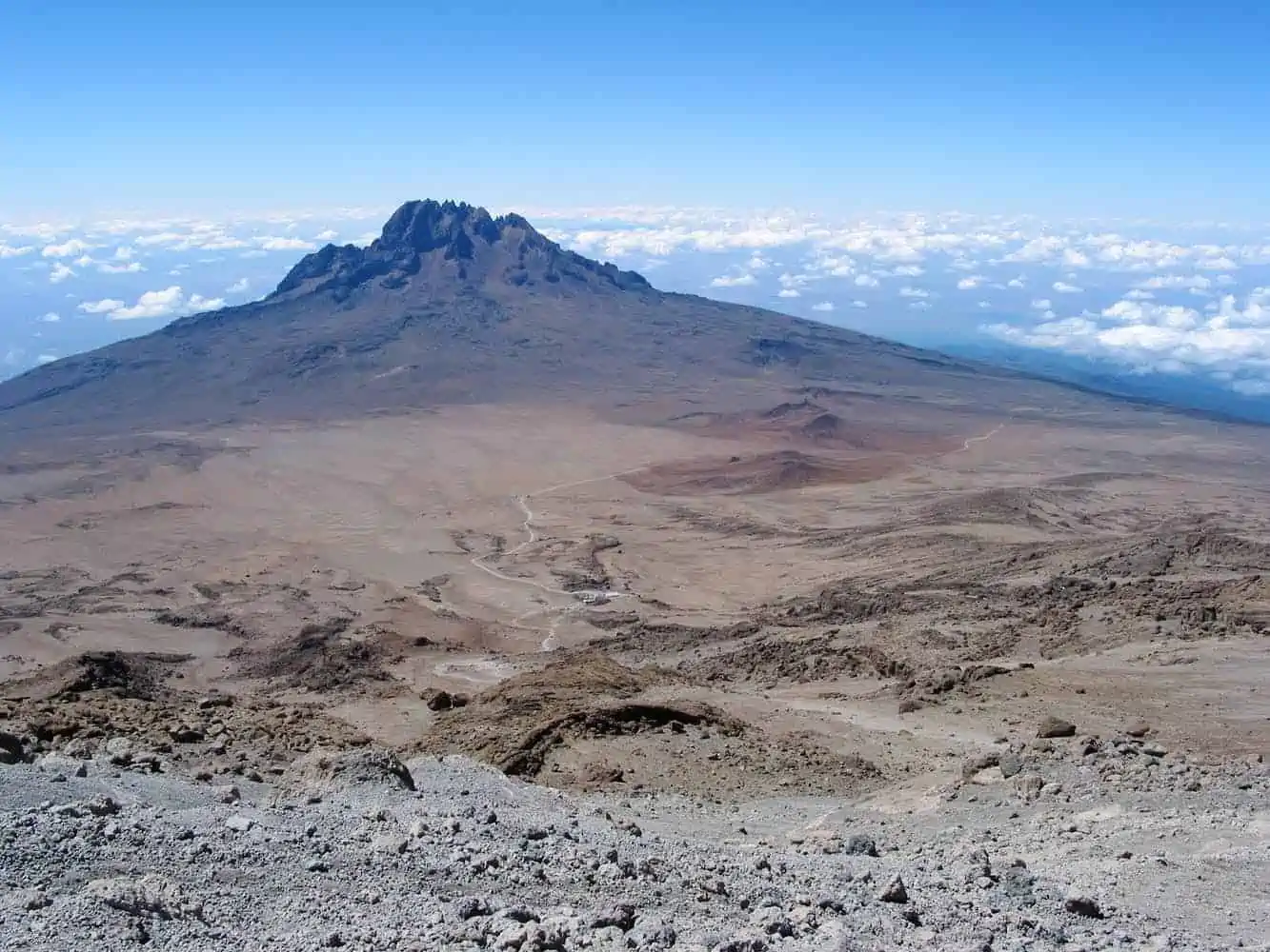
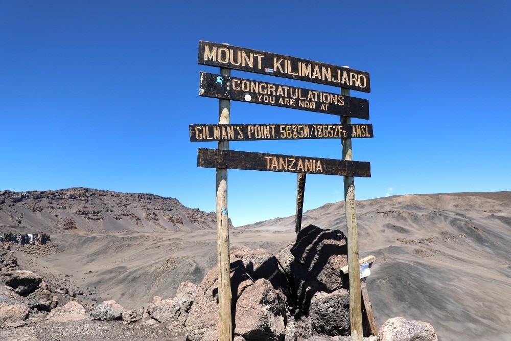
Very early in the morning, commence the climb to the summit on steep and heavy stone scree or snow up to Gilman’s Point located on the crater rim (elevation 5700 m / 18,700 ft). We will ascend to Uhuru Peak, which is the highest point in Africa. The beginning of this climb is done in the dark and requires headlamps or flashlights.
It will be very cold until you start descending, so you will need all of your warm layers.
This is far the most difficult part of the trek with many switchbacks. After we will descend, stopping for lunch and a rest at Kibo before continuing on to the Horombo encampment.
Elevation: 4700 m / 15,500 ft to 5895 m / 19,340 ft
Down to 3700 m / 12,200 ft
Distance: 6 km / 4 miles up: 15 km / 9 mi down
Hiking Time: 8 hours to Uhuru and 6 hours to Horombo
Habitat: Alpine Desert
Meals: included
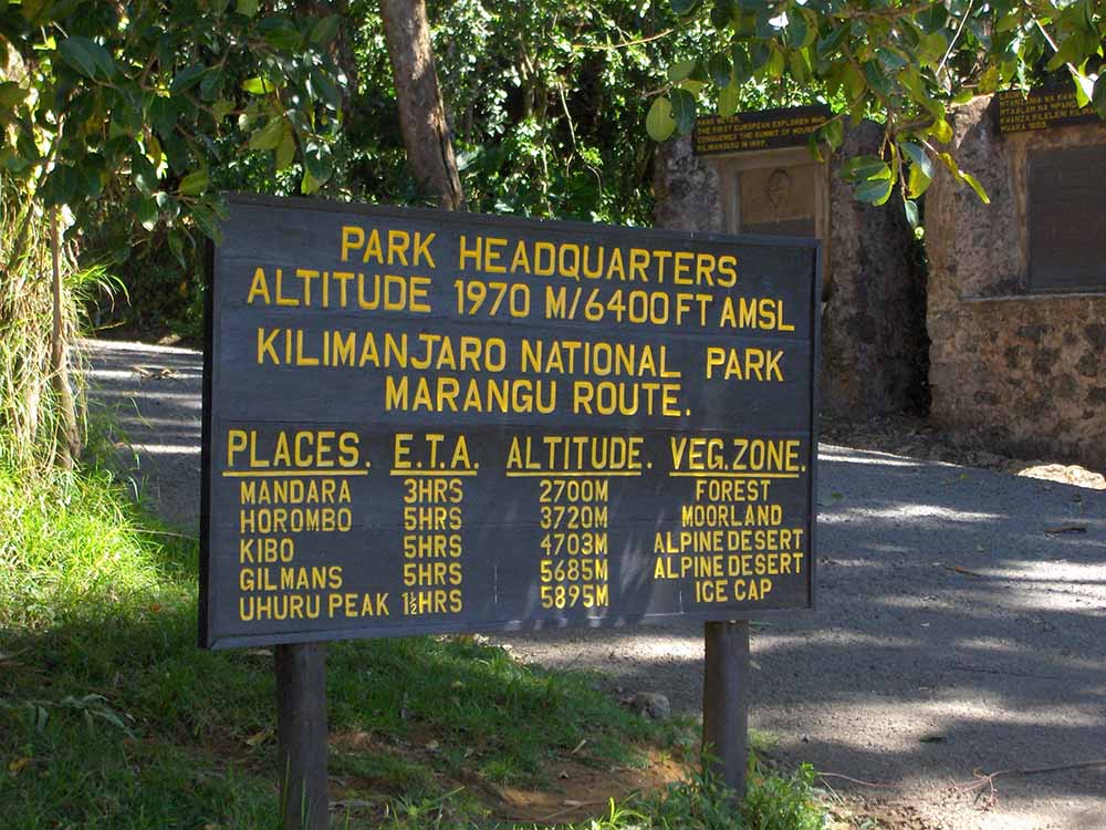
Following a well-deserved breakfast, your staff will have a big celebration full of dancing and singing. It is here on the mountain that you will present your tips to the guide, assistant guides, chef(s), and porters. After celebrating, you will descend for 6 hours back to Marangu Gate. The National Park requires all hikers to sign their names to receive certificates of completion.
Hikers who reached Gillman’s Point (5681m) receive green certificates and hikers who reached Uhuru Peak (5895m) receive gold certificates. After receiving certificates, you will drive back to Moshi/Arusha for long overdue showers and celebrations.
Elevation: 3720 m / 12,205 ft to 1980 m / 6496 ft
Hiking time: 6 hours
Distance: 27 km
| 1 Pax | 2 Pax | 3 Pax | 4 Pax | 5 Pax | 6 Pax | 7 Pax | 8 Pax | 9 Pax | 10+ |
| $2575 | $1925 | $1725 | $1650 | $1550 | $1500 | $1470 | $1425 | $1400 | $1375 |
There is not only one single option to trekk to the summit of Kilimanjaro. In total there are 6 optional routes. Please find in the buttons below the information and daily itinerary of the other routes.
